
 Murcia
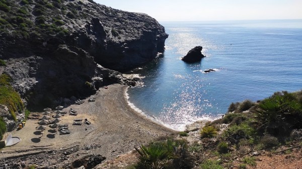
Murcia: water temperature today
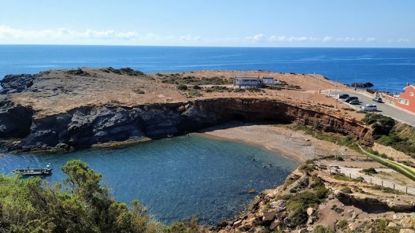
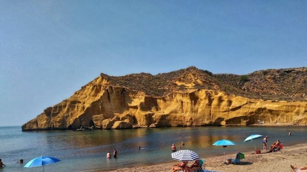
Most popular resorts in the region in the past week
Murcia: an overview of the state of water on the beaches
Now in all places of the region the water temperature is on the border of comfort. There are places with cool water, there are more or less comfortable ones.
The water temperature in the region has increased both over the past 10 days and over a month.
Today the warmest water in the region is recorded in San Javier. Its value in this location is 64°F. And the coldest one is in Bolnuevo, its value 62°F.
The general trend can be seen on the graph. It shows the change in the average value, calculated at all points in the Murcia region over the past two months.
For the two most popular locations for swimming in the region, the graphs of changes in the average water temperature throughout the year look like this:


Table with current weather data and trends in general in some cities in the region
| City | Water | Air | ||
| La Manga Del Mar Menor | 63°F |   | 61°F |  |
| Mar Menor | 63°F | | 61°F | |
| Cartagena | 63°F | | 61°F | |
| Aguilas | 63°F | | 61°F | |
| Cabo de Palos | 63°F | | 61°F | |
| Los Alkazares | 63°F | | 61°F | |
| Isla Plana | 63°F | | 61°F | |
| Bolnuevo | 62°F | | 61°F | |
| San Javier | 64°F | | 61°F | |
| Los Nietos | 63°F | | 61°F | |
| La Azohia | 63°F | | 61°F | |
| El Portus | 63°F | | 61°F | |
| Calabardina | 63°F | | 61°F | |
| Puntas de Calnegre | 63°F | | 61°F | |
| Bahia Bella | 63°F | | 61°F | |
Murcia: cities
We have data of the water surface temperature in the following cities, beaches and resorts in the region:
