
 Al Bahr Al Ahmar
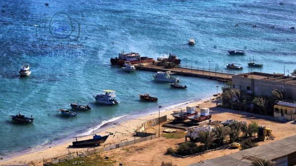
Al Bahr Al Ahmar: water temperature today
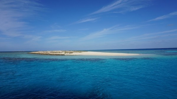
Most popular resorts in the region in the past week
Al Bahr Al Ahmar: an overview of the state of water on the beaches
Now in all places of the region the water temperature ranges from cool to comfortable and warm.
The water temperature in the region has increased both over the past 10 days and over a month.
Today the warmest water in the region is recorded in Berenice Troglodytica. Its value in this location is 77°F. And the coldest one is in Zaafarna, its value 70°F.
The general trend can be seen on the graph. It shows the change in the average value, calculated at all points in the Al Bahr Al Ahmar region over the past two months.
For the two most popular locations for swimming in the region, the graphs of changes in the average water temperature throughout the year look like this:

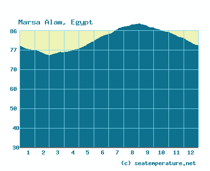
Table with current weather data and trends in general in some cities in the region
| City | Water | Air | ||
| Hurghada | 75°F |   | 77°F |  |
| Marsa Alam | 75°F | | 82°F |  |
| Soma Bay | 75°F | | 77°F | |
| Safaga | 75°F | | 77°F | |
| Sahl Hasheesh | 76°F | | 77°F | |
| Makdi | 76°F | | 77°F | |
| El Gouna | 75°F | | 75°F | |
| Berenice Troglodytica | 77°F | | 82°F | |
| Quseer | 75°F | | 80°F | |
| Sharm El Luli | 76°F | | 82°F | |
| Abu Ghusun | 76°F | | 82°F | |
| Shalateen | 77°F | | 78°F | |
| Ras Shukeir | 74°F | | 73°F |  |
| Ras Ghareb | 72°F | | 73°F | |
| Zaafarna | 70°F | | 72°F | |
Al Bahr Al Ahmar: cities
We have data of the water surface temperature in the following cities, beaches and resorts in the region:
