
 British Virgin Islands
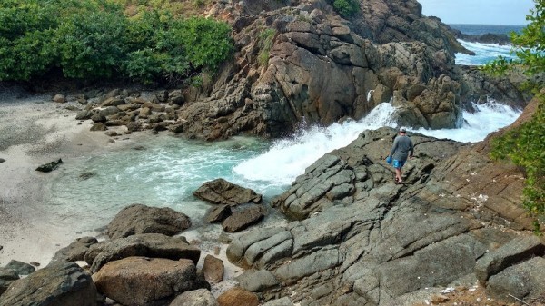
Current water temperature on the British Virgin Islands coast. Forecast of changes in water temperature. Historical data.
Water temperature in British Virgin Islands today
Most popular locations in British Virgin Islands over the past week
Conditions of sea water on beaches in British Virgin Islands
Now in all beaches in British Virgin Islands, the water is very warm and comfortable for swimming.
The water temperature in British Virgin Islands has increased both over the past 10 days and over a month.

Today the warmest water in British Virgin Islands is recorded in Tortola. Its value in this location is 82°F. And the coldest one is in Road Town, its value 81°F.
The trend can be seen on the graph. It shows the change in average sea surface temperature over the past two months.
For the two most popular locations for swimming in British Virgin Islands, the graphs of changes in the average water temperature throughout the year are as follows:


We process, analyze and store data for every beach and city in British Virgin Islands. Below is a table with current weather data and trends in some places of the country.
| City | Water | Air | ||
| Tortola | 82°F |  | 78°F |  |
| Road Town | 81°F | | 78°F | |
| Virgin Gorda | 82°F | | 78°F | |
| Jost Van Dyke | 82°F | | 78°F | |
| Beef Island | 81°F |  | 78°F | |
| Peter Island | 82°F | | 78°F | |
| Great Tobago | 82°F | | 78°F | |
| Spanish Town | 82°F | | 78°F | |
| Dog Islands | 81°F | | 78°F | |
| Parham Town | 82°F | | 78°F | |
| Wesley Will | 81°F | | 78°F | |
Climate in British Virgin Islands
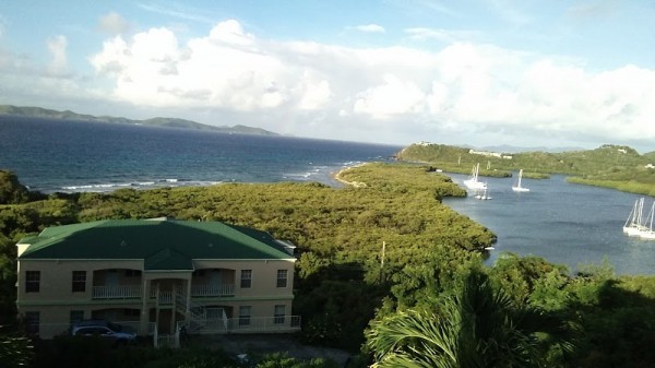
The British Virgin Islands are located in Central America. The country is washed by the Caribbean Sea. The British Virgin Islands is a small country. To determine the temperature of the water in it, we track only two settlements.
Tropical marine, trade wind, warm and very even. The average monthly temperature during the year varies slightly - from + 22-24 C in the winter to + 28-29 C in the summer. Daily temperature changes are also weakly traced. Precipitation is up to 1300 mm per year, with two dry (winter and summer) and two rainy (spring and autumn) seasons. The maximum amount of rain falls during the period from September to November-December, although even at this time it is rainy no more than five to six days a month. Between July and October, tropical hurricanes are more likely to pass over the islands, although here they are recorded much less frequently than over the nearby Windward Islands.
British Virgin Islands: regions

British Virgin Islands: oceans and seas
We monitor the following oceans and seas that wash the country. Just go to the page for a specific reservoir and see the temperature in all settlements on the coast.
