
 Canary Islands
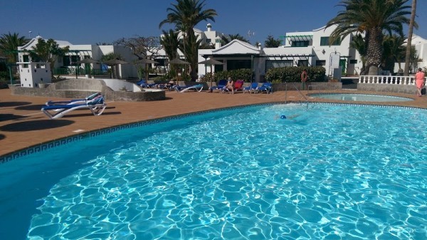
Canary Islands: water temperature today
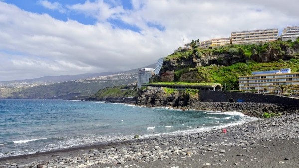
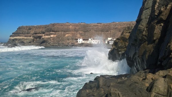
Most popular resorts in the region in the past week
Canary Islands: an overview of the state of water on the beaches
Now in all places of the region the water temperature is on the border of comfort. There are places with cool water, there are more or less comfortable ones.
The water temperature in the region has increased both over the past 10 days and over a month.
Today the warmest water in the region is recorded in Tarajalillo. Its value in this location is 69°F. And the coldest one is in Puerto Del Rosario, its value 66°F.
The general trend can be seen on the graph. It shows the change in the average value, calculated at all points in the Canary Islands region over the past two months.
For the two most popular locations for swimming in the region, the graphs of changes in the average water temperature throughout the year look like this:


Table with current weather data and trends in general in some cities in the region
| City | Water | Air | ||
| Tenerife | 68°F |   | 70°F |  |
| Fuerteventura | 67°F | | 68°F |  |
| Lanzarote | 67°F | | 68°F |  |
| Gran Canaria | 68°F | | 71°F | |
| Maspalomas | 67°F | | 71°F | |
| Costa Adeje | 68°F | | 70°F | |
| Las Palmas De Gran Canaria | 68°F | | 73°F | |
| Los Cristianos | 69°F | | 70°F | |
| Puerto De La Cruz | 67°F | | 73°F |  |
| Playa del Ingles | 67°F | | 71°F | |
| Santa Cruz De Tenerife | 68°F | | 73°F | |
| Puerto Rico | 68°F | | 71°F | |
| Playa-de-Las-Americas | 68°F | | 70°F | |
| Morro Jable | 67°F | | 68°F | |
| Puerto de Mogan | 68°F | | 71°F | |
Canary Islands: cities
We have data of the water surface temperature in the following cities, beaches and resorts in the region:
- Acantilados de Los Gigantes
- Adeje
- Agaete
- Agulo
- Almaciga
- Alojera
- Arguineguin
- Arinaga
- Arrecife
- Arrieta
- Bajamar
- Barlovento
- Benijo
- Buenavista Del Norte
- Caleta de Arriba
- Caleta de Famara
- Candelaria
- Castillo del Romeral
- Corralejo
- Costa Adeje
- Costa Ayala
- Costa Teguise
- El Cotillo
- El Guincho
- El Hierro
- El Medano
- El Pajar
- El Remo
- El Tablado
- Faro de Sardina
- Fuerteventura
- Garachico
- Golf del Sur
- Gran Canaria
- Gran Tarajal
- Guia de Isora
- Igueste de San Andres
- Isleta
- Jandia
- La Caleta
- La Caleta de Interian
- La Fajana
- La Furnia
- La Garita
- La Gomera
- La Graciosa
- La Lajita
- La Matanza De Acentejo
- La Palma
- La Pared
- La Rajita
- La Tejita
- Lanzarote
- Las Caletillas
- Las Eras
- Las Galletas
- Las Palmas De Gran Canaria
- Las Rosas
- Los Abrigos
- Los Caideros
- Los Cancajos
- Los Caserones
- Los Cristianos
- Los Roques
- Majanicho
- Maspalomas
- Melenara
- Mesa del Mar
- Morro Jable
- Palm-Mar
- Pasito Blanco
- Playa Blanca
- Playa de Guigui
- Playa del Hombre
- Playa del Hoyo
- Playa del Ingles
- Playa-de-Las-Americas
- Puertito de Guimar
- Puertito de los Molinos
- Puerto De La Cruz
- Puerto de Mogan
- Puerto de Naos
- Puerto Del Carmen
- Puerto Del Rosario
- Puerto Rico
- Punta de Galdar
- Puntillo del Sol
- Quintanilla
- Radazul
- Roque Bermejo
- Salinas del Carmen
- San Andres
- San Augustin
- San Felipe
- San Juan De La Rambla
- San Sebastian de La Gomera
- Santa Cruz de La Palma
- Santa Cruz De Tenerife
- Santo Domingo
- Tarajalillo
- Taurito
- Tenerife
- Valleseco
