
 Khabarovsk Krai
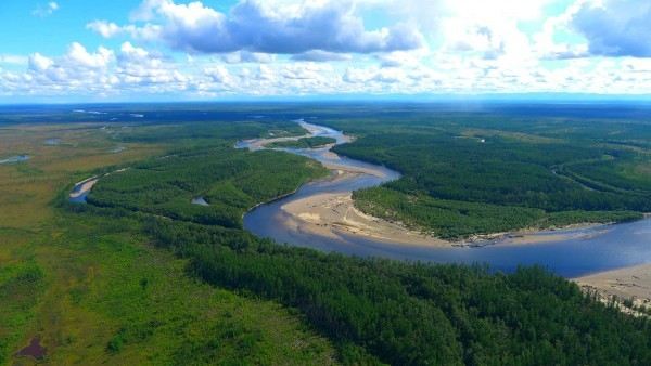
Khabarovsk Krai: water temperature today
Most popular resorts in the region in the past week
Khabarovsk Krai: an overview of the state of water on the beaches
Now in all places of the region the water temperature is very low and not suitable for swimming.
The water temperature in the region tends to decrease, its value has decreased both over the past 10 days and over the month.
Today the warmest water in the region is recorded in River Maya. Its value in this location is 37°F. And the coldest one is in Chumikan, its value 28°F.
The general trend can be seen on the graph. It shows the change in the average value, calculated at all points in the Khabarovsk Krai region over the past two months.
For the two most popular locations for swimming in the region, the graphs of changes in the average water temperature throughout the year look like this:

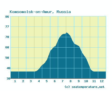
Table with current weather data and trends in general in some cities in the region
| City | Water | Air | ||
| Khabarovsk | 37°F |  | 46°F |  |
| Komsomolsk-on-Amur | 37°F | | 38°F |  |
| Chumikan | 28°F |  | 30°F |  |
| Sovetskaya Gavan | 34°F | | 40°F | |
| Okhotsk | 32°F | | 30°F | |
| River Maya | 37°F | | 30°F | |
| Lazarev | 32°F | | 30°F | |
| Amur estuary | 37°F | | 32°F | |
| Mayskiy | 34°F | | 40°F | |
| Ayan | 30°F | | 31°F | |
| Lososina | 34°F | | 40°F | |
Rivers in Khabarovsk Krai
We measure the temperature in the following rivers flowing through the region
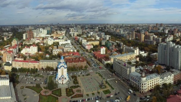
Khabarovsk Krai: cities
We have data of the water surface temperature in the following cities, beaches and resorts in the region:
