
 Rio Grande Do Sul
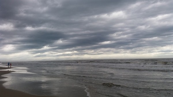
Rio Grande Do Sul: water temperature today
Most popular resorts in the region in the past week
Rio Grande Do Sul: an overview of the state of water on the beaches
Now in all places of the region the water temperature ranges from cool to comfortable and warm.
The water temperature in the region tends to decrease, its value has decreased both over the past 10 days and over the month.
Today the warmest water in the region is recorded in Capao Novo. Its value in this location is 74°F. And the coldest one is in Hermenegildo, its value 70°F.
The general trend can be seen on the graph. It shows the change in the average value, calculated at all points in the Rio Grande Do Sul region over the past two months.
For the two most popular locations for swimming in the region, the graphs of changes in the average water temperature throughout the year look like this:


Table with current weather data and trends in general in some cities in the region
| City | Water | Air | ||
| Torres | 74°F |  | 60°F |  |
| Imbe | 74°F | | 61°F |  |
| Rio Grande | 70°F | | 58°F | |
| Xangri-la | 73°F | | 61°F | |
| Capao Da Canoa | 74°F | | 61°F | |
| Tramandai | 73°F | | 61°F | |
| Arroio do Sal | 74°F | | 61°F | |
| Curumim | 73°F | | 61°F | |
| Hermenegildo | 70°F | | 55°F |  |
| Guaiba | 73°F | | 59°F | |
| Rondinha | 74°F | | 60°F | |
| Balneario Pinhal | 74°F | | 61°F | |
| Porto Alegre | 73°F | | 59°F | |
| Cidreira | 74°F | | 61°F | |
| Albatroz | 74°F | | 61°F | |
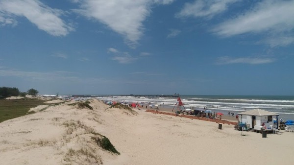
Rio Grande Do Sul: cities
We have data of the water surface temperature in the following cities, beaches and resorts in the region:
